


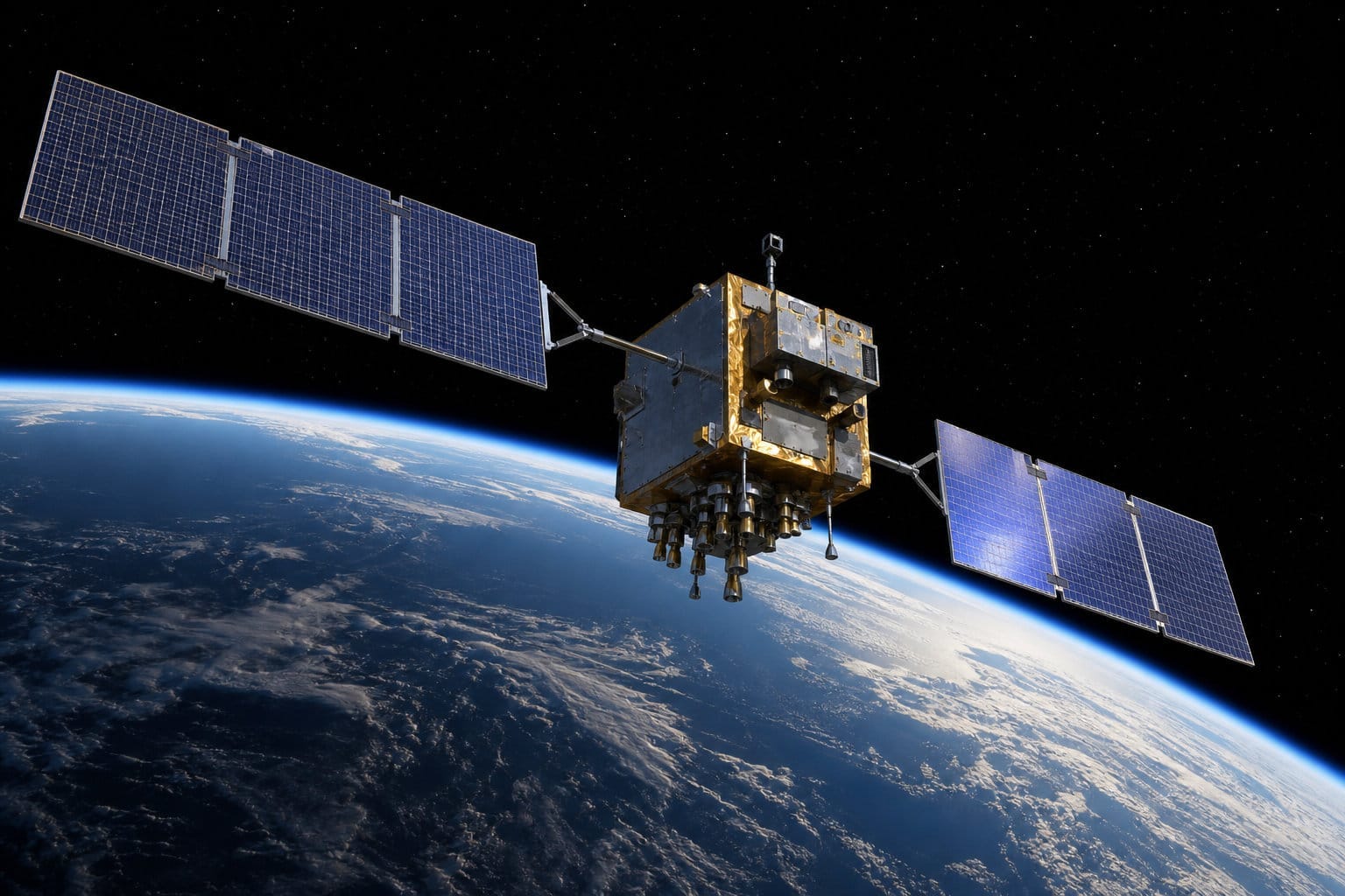
GPS is one of those technologies that’s become so mundane it’s stopped feeling like technology at all. You open a map app, a blue dot appears, and you don’t think about it any more than you think about how a light switch works. But underneath that blue dot is a truly remarkable chain of physics and engineering — one that traces back to a Cold War satellite launch, and that quietly relies, dozens of times a day, on corrections for the fact that time itself runs differently at high speed and high altitude than it does on the ground.
It started with listening to Sputnik
On October 4, 1957, the Soviet Union launched Sputnik, the first artificial satellite to orbit Earth. At the Johns Hopkins University Applied Physics Laboratory, two scientists, William Guier and George Weiffenbach, noticed something about the satellite’s radio signal: its pitch shifted as it passed overhead, rising as it approached and falling as it moved away — the same Doppler effect that makes a passing ambulance siren change pitch. By carefully tracking that shift, they realized they could calculate Sputnik’s exact orbit from the ground.
The APL’s deputy director, Frank McClure, saw the more interesting implication. As one colleague later recalled him putting it: if you can find out where the satellite is, you ought to be able to turn that problem upside down and find out where you are. If a satellite’s position is known precisely, and you can measure your own position relative to it, the satellite becomes a reference point you can navigate by — from anywhere on Earth.
That insight led directly to the Navy’s TRANSIT system, which provided satellite-based navigation for military vessels for over three decades. Through the 1960s and ‘70s, competing programs run by the Navy and Air Force — Timation, Project 621B — worked on refining the same basic idea, before being consolidated into a single program in December 1973: NAVSTAR GPS.
Who actually invented it depends on who you ask
GPS wasn’t the work of one person, or even one lab — it came together from a handful of people solving different, equally hard pieces of the same problem, over roughly two decades.
Roger Easton, at the Naval Research Laboratory, filed the foundational patent in 1974 and solved one of the hardest technical problems in the whole system: how to keep satellite clocks accurate enough for precise positioning at all, using the first space-qualified atomic clocks. Ivan Getting, at the Aerospace Corporation, conceived the idea of a real-time, three-dimensional positioning system built on multiple satellites working together — a genuine architectural leap past the Navy’s existing satellite navigation system, which only gave occasional, two-dimensional fixes.1 Bradford Parkinson led the NAVSTAR GPS Joint Program Office from 1972 to 1978, and is generally credited with actually integrating all these separate pieces into a working, operational system. And Dr. Gladys West, a mathematician whose modeling of Earth’s precise shape and gravitational field was essential to making GPS positioning actually accurate, went largely unrecognized publicly for decades before her role in a technology now used by billions of people finally became widely known.
Four truly distinct, foundational contributions — timing, concept, integration, and the underlying geodetic math — each necessary, none of them sufficient on its own.
The mechanics: satellites, timing, and trilateration
The system that eventually emerged from all this work is a constellation of at least 24 satellites, orbiting roughly 20,000 kilometers above Earth. Each carries an atomic clock and continuously broadcasts its own precise position and the exact time the signal was sent.
A GPS receiver — in your phone, your car, wherever — picks up signals from multiple satellites at once. Because radio signals travel at a known, fixed speed, the receiver can calculate how far away each satellite is just by measuring how long the signal took to arrive. Do that with four satellites simultaneously, and you have enough information to solve for your position in three dimensions, plus correct for any timing error in the receiver’s own, much cheaper clock. This process is called trilateration, and it’s the core of how GPS actually locates you.
It’s worth knowing there are really two very different tiers of GPS precision. The consumer-grade GPS in your phone gives you a position accurate to a few meters, using the satellites’ real-time broadcast signals. Scientific and surveying applications use a far more demanding technique — comparing signals between multiple fixed ground stations simultaneously, using “precise ephemerides” (satellite orbit solutions refined after the fact, sometimes days later, by a global tracking network), and averaging years of daily measurements to cancel out noise. That combination can measure relative motion between two points to within millimeters per year — precise enough to track the slow drift of tectonic plates, or to detect the ground sinking as an aquifer is pumped dry.
The part that sounds like it shouldn’t be true
Here’s the detail that turns GPS from “useful gadget” into something truly strange: for the system to work at all, it has to correct for Einstein’s theories of relativity, actively, every single day.
GPS satellites orbit at roughly 14,000 kilometers per hour. According to special relativity, a clock moving that fast runs slightly slow relative to a stationary observer — GPS satellite clocks lose about 7 microseconds a day from this effect alone. But the satellites are also sitting much higher up than the surface of the Earth, in a meaningfully weaker gravitational field, and general relativity says a clock in weaker gravity runs fast relative to one closer to Earth’s mass — by about 45 microseconds a day.
These two effects don’t cancel out. General relativity wins, by a wide margin, leaving GPS satellite clocks running a net 38 microseconds faster per day than an identical clock on the ground.
Thirty-eight microseconds sounds like nothing. It isn’t. Left uncorrected, that daily drift would translate into GPS positions wandering off by roughly 10 kilometers every single day — the system would become useless for real navigation within hours, and completely unusable within about a week. The engineers who designed GPS knew this was coming, and built the correction directly into the satellites themselves: each atomic clock is manufactured to run at a very slightly different frequency than a ground clock would, specifically pre-tuned so that once it’s in orbit and relativity does what relativity does, the result comes out correct.
Neil Ashby, a physicist at the University of Colorado, wrote the technical reference paper that remains the standard explanation of exactly how these corrections are calculated and applied. It’s an extraordinary fact hiding in plain sight: every time your phone finds your location, it’s relying on a system that was engineered around a hundred-year-old theory of physics that most people only ever encounter in a classroom, treated as a mostly abstract idea rather than something with real, practical stakes.
From military system to civilian standard
For its first two decades, GPS was primarily a military tool, and its civilian signal was deliberately degraded — a policy called Selective Availability, which intentionally introduced enough error to keep precise positioning a military advantage. That changed after a real tragedy: in 1983, Soviet fighters shot down Korean Air Lines Flight 007 after it strayed into restricted airspace, killing everyone aboard. The incident became a major argument for making accurate civilian navigation more widely available, and President Reagan committed to eventually opening GPS to civilian use.
The full 24-satellite constellation reached initial operational capability in December 1993 and full operational capability in 1995. GPS satellites have always broadcast two separate signals at once: an open, unencrypted civilian one, and a more precise military one, encrypted so that only receivers with the proper cryptographic key could use it — a two-tier arrangement that’s still in place today. Selective Availability was a third, separate layer on top of that: the deliberate, artificial degradation of the open civilian signal specifically, intentionally crippling its accuracy from a few meters down to roughly 100. It wasn’t switched off until May 1, 2000, when President Clinton ordered it discontinued. Turning it off didn’t touch the encrypted military signal at all — that remained restricted, then and now, though it’s worth being honest about what that restriction still buys, since it isn’t primarily precision anymore. The two signals are structurally different — the military one runs faster and on two frequencies instead of one — but the U.S. government’s own current assessment is that real-world accuracy between the two has essentially converged, both landing around 10 to 20 meters or better under normal conditions. What the encryption still reliably provides is something else entirely: an open, publicly-structured signal can be faked, and encrypted signal can’t, which is exactly why documented GPS spoofing and jamming incidents in recent conflicts have specifically targeted the open signal. The encryption keys themselves are rotated regularly, specifically so that a single compromised key can’t stay useful for long — the military now broadcasts each new key, itself encrypted, over the existing signal, rather than requiring physical, in-person distribution the way it once did. Keeping a separate, authenticated military signal also lets the U.S. deny GPS to an adversary in one specific region — jamming or degrading the open signal locally — without having to degrade it for the entire civilian world the way Selective Availability once did. What changed in 2000, then, was narrower and simpler than opening up military-grade precision: the civilian signal simply stopped being deliberately sabotaged, and accuracy improved roughly tenfold overnight, essentially instantly turning a marginally useful consumer tool into the precise, reliable system that now sits quietly in the background of daily life. Because Selective Availability worked by deliberately corrupting the satellites’ timing signal itself — position error was really just the downstream consequence of that — its removal improved GPS timing accuracy directly, which turned out to matter for a lot more than finding your way somewhere, as the next section gets into.
It’s much more than a positioning system
Here’s the part that tends to surprise people most: GPS’s single most consequential product isn’t location at all. It’s time.
Every GPS satellite is, at its core, a flying atomic clock, and that clock signal — precise to nanoseconds, broadcast continuously and freely to anyone on Earth — turned out to be far too useful to limit to navigation. Huge parts of the systems modern life quietly depends on now run on it directly.
Financial regulation requires every stock trade to carry a timestamp accurate to a fraction of a microsecond, traceable to an official time standard — and a GPS-disciplined clock is simply the cheapest, most standardized way to get one. The New York Stock Exchange has GPS antennas mounted on the roof of its New Jersey server facility for exactly this purpose. Cell towers synchronize their handoffs using GPS timing so that neighboring towers don’t interfere with each other and a call doesn’t drop as you drive from one tower’s coverage into the next; even a small amount of drift in that synchronization can cut a network’s data capacity in half before towers start shutting down entirely. Power utilities timestamp measurements from sensors spread across hundreds of kilometers of transmission lines against the same GPS signal, letting grid operators compare voltage conditions in real time and catch instability before it cascades into a blackout. A former NASA administrator has put it plainly to federal policymakers: most people don’t realize how much of the country’s ATM and point-of-sale transaction system depends on this same timing signal too.
A lot of this dependency wasn’t planned so much as inherited. Many of these industrial timing standards were written specifically around the level of precision GPS could already provide, which means relying on it wasn’t a late addition — it was baked into the design from day one.
The scale of that reliance only really becomes visible when you try to estimate what happens if the signal goes away. A study commissioned by the Commerce Department’s National Institute of Standards and Technology put the cost of a single day without GPS at roughly $1 billion, climbing to somewhere between $16 billion and $45 billion over a month, depending on the season — the higher end of that range specifically reflects the outage hitting during critical spring planting, when GPS-guided precision agriculture is most heavily in use. GPS signals, meanwhile, are famously weak by the time they reach the ground, having traveled 20,000 kilometers, which makes them truly vulnerable to jamming or spoofing — a real, live concern serious enough that researchers are actively developing GPS-independent backup timing systems, including one that repurposes ordinary broadcast television infrastructure as a fallback.
So the blue dot on your phone is really the least of what this system does. The bigger, quieter job — keeping trades sequenced, calls connected, and the power grid stable — is the one nobody built a map app for, and the one most people have never heard of at all.
The same old problem, a different kind of answer
It’s remarkable how differently the problem of geolocation has been solved across human history. Centuries of Polynesian voyagers found their way across thousands of miles of open Pacific using nothing but memorized star positions, ocean swells, and the accumulated, transmitted skill of wayfinding navigators — a real, working science built entirely from careful observation of the natural world. European sailors solved the same basic problem with instruments instead of memory: a sextant to measure the angle between a star and the horizon, paired with an accurate shipboard clock — itself set against precise time kept by fixed, land-based transit instruments at observatories — to turn that angle into an actual position at sea. GPS answers the same perennial question — where, exactly, am I? — using orbiting atomic clocks and corrections for the curvature of spacetime itself. Stop and actually think about that for a second, and it’s hard not to feel like we’re living in “the future” — because, in a very real, unglamorous, everyday sense, we are.
The Navy’s then-existing system, TRANSIT, only worked well if the user already knew their own velocity precisely — fine for a submarine holding still to take a fix, useless for a fast, maneuvering aircraft or missile. Getting’s real insight, starting in the late 1950s, was recognizing that TRANSIT’s whole approach — one satellite at a time, occasional fixes, dependent on already knowing your own speed — was the wrong architecture for that problem entirely, and proposing something categorically different: continuous coverage from many satellites at once.