


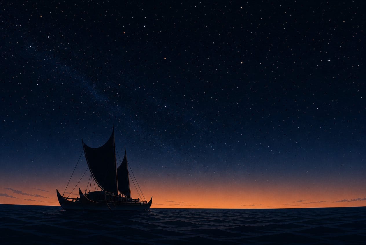
Hawaii was almost certainly settled from the southern Marquesas Islands, likely Hiva ʻOa specifically, sometime between about 1190 and 1290 CE. The distance between them is roughly 2,500 nautical miles — somewhere around 2,875 statute miles of open Pacific Ocean, with nothing in between. The voyagers who made that crossing had no compass, no charts, no writing system, and no metal. How does anyone even attempt something like that, let alone survive it, let alone do it more than once?
The honest instinct is that it must have been either extraordinary luck or a long string of people dying at sea. Both turn out to be wrong.
The old answer: they got lucky
For much of the twentieth century, the dominant scholarly explanation was that Pacific islanders had the seafaring skill to survive at sea, but not the navigational sophistication to deliberately find and return to specific islands across thousands of miles of open ocean. Under this “accidental drift” theory, most Pacific settlement happened when canoes got blown off course, lost sight of land, and stumbled onto new islands by chance — with, presumably, many more such voyages simply ending in death, unrecorded.
This fit a broader and uncomfortable assumption of the era: that non-European peoples couldn’t possibly have matched or exceeded European navigational science. It’s worth separating this from a different, unrelated claim that gets popularly conflated with it — Thor Heyerdahl’s 1947 Kon-Tiki expedition, which set out to prove Polynesia had been settled by drifting rafts from South America. That theory is now essentially disproven; genetic and archaeological evidence points the opposite direction, toward Polynesian contact with the Americas rather than the reverse.
How the drift theory collapsed
Four separate lines of evidence took the accidental-drift theory apart.
In 1973, researchers ran computer simulations of actual Pacific wind and current patterns and found that random drift settlement of places like Hawaii was “extremely unlikely” given how those currents actually behave.
In 1976, a master navigator named Mau Piailug sailed a reconstructed double-hulled canoe, the Hōkūleʻa, roughly 2,500 nautical miles from Hawaii to Tahiti using zero instruments — reading star positions, wave patterns, and bird behavior the entire way — and made landfall successfully. It wasn’t a one-off fluke; the technique has since been repeated many times, by a new generation of trained navigators.
In 2014, a genetic study found the same specific mitochondrial marker across Polynesian populations throughout the Pacific, in a pattern consistent with directed settlement waves rather than the random mixing accidental drift would produce.
And the canoes themselves tell the story. Archaeological and cultural evidence shows voyaging canoes carried breeding pairs of pigs, dogs, and chickens, plus taro, sweet potato, coconut, and other crops. Nobody loads livestock and planting stock onto a raft they expect to be blown randomly off course.
Finding land nobody had ever seen
Reading the ocean for signs of land nobody has confirmed exists is its own kind of skill. Navigators memorized a mental “star compass” — the specific rising and setting points of dozens of stars, used as a constantly rotating reference frame through the night. During the day, they read ocean swell patterns, which refract detectably around an island’s presence from many miles before it’s visible; distinctive cloud formations, which build up over islands from reflected heat and moisture; and the flight behavior of specific seabirds. White terns and noddies fly out to fish by day and return to land each evening, so their flight direction near dusk can point toward land that’s still forty to over a hundred miles away and completely invisible.
The Marquesas are, if anything, a harder target than Tahiti or Hawaii — a narrow chain of islands with peaks only about 4,000 feet high, compared to Hawaii’s own 13,500-foot volcanoes, visible from over a hundred miles on a clear day. A canoe searching for the Marquesas has to pass within about 65 miles in daylight just to see the mountaintops at all. Whatever direction the first voyage to Hawaii actually ran, the people who could reliably find the Marquesas from open ocean were already operating at the difficult end of what this system could do.
Why this wasn’t a one-way gamble
Here’s the part that resolves the instinct that most such voyages must have ended in death: a deliberate search voyage wasn’t sailed the way you’d guess.
Pacific trade winds and currents generally blow from east to west. A crew searching eastward into unknown ocean sails against that wind — a slow, difficult outbound leg. But that same wind means the return trip, if nothing is found, is fast and easy: turn around, and the wind that fought the search now carries the canoe home. A “failed” search wasn’t a death sentence. It was closer to an expensive, uncomfortable, but survivable round trip.
This wasn’t invented by modern scholars trying to make the story sound better. Hawaiian and broader Polynesian oral tradition preserves a specific term for exactly this kind of deliberate exploratory voyaging — ʻimi honua, “searching for lands” — described as a recognized cultural practice in its own right, motivated by the ordinary need for new land and resources as populations grew. One Society Islands tradition describes a brother and sister, Ru and Hina, who circumnavigate the world in a canoe for the explicit purpose of finding islands — a story whose entire premise is exploration for its own sake, without any known destination in mind.
What a search voyage actually risked
A search voyage almost certainly didn’t carry the “floating zoo” of livestock and seed crops — that cargo belonged to a settlement voyage, mounted only once a destination was confirmed. What it risked instead was narrower but still substantial: the canoe itself, an enormous investment of skilled labor to build, and the crew, including navigators who carried an entire tradition’s worth of memorized knowledge in their own heads. Losing a search voyage risked losing some of a society’s most experienced people at once — a real setback to the very expertise the next attempt would depend on.
Here’s a rough sense of what such a voyage demanded, reasoned from the best available evidence rather than any direct historical record — nobody can say with certainty how long the first successful voyage to Hawaii actually took. The best real-world proxy is Hōkūleʻa’s own demonstrated performance: on a comparable-distance 1992 voyage, expected to take about 30 days, the canoe carried 35 to 40 days of food and water as a safety margin, sailing at roughly 100 to 150 nautical miles per day in decent trade winds.
A search voyage, though, wasn’t sailing efficiently toward a known point — it was probing, without a destination to aim at, which is inherently less direct and more time-consuming. Add a real chance of getting slowed in the doldrums, the notoriously calm and unpredictable band of ocean near the equator that any Marquesas-Hawaii crossing has to cross, and a first successful discovery leg plausibly took three to five weeks. Some time at the island itself, confirming it was real and worth reporting home about, might add anywhere from days to a couple of weeks. A return leg, informed at least by a tracked sense of the outbound course, might run another two to four weeks. Add it up, and the whole round trip — find it, confirm it, get home to tell people — plausibly took somewhere on the order of six to eleven weeks. Call it, very roughly, two to three months.
Whether a single canoe could actually carry two to three months of provisions is an open question. Scaled directly from Hōkūleʻa’s demonstrated one-way loadout, it looks like a real stretch — possibly beyond what a single canoe could carry for a full crew over that duration. A smaller, livestock-free search crew, and real supplementation from fishing and rain-catching along the way — including, helpfully, in the doldrums, the very stretch most likely to slow the voyage down and also the stretch most likely to produce the rain that helps sustain it — could plausibly have closed much of that gap. This is right at the edge of what the technology could support, which may be exactly why so few such voyages succeeded, and why the ones that did became the stuff of legend.
How they found their way home
This is the part that seems hardest to believe, and it deserves a real answer: with no landmarks, no charts, and thousands of miles of open water in both directions, how did a canoe reliably find its way back to a small, specific island it had left weeks earlier?
The honest answer is that return navigation wasn’t a separate problem solved at the end of the voyage — it was continuously tracked the entire time, using a fundamentally different mental model than instinct suggests. Modern navigation tells you your own absolute position, then calculates a route from there to a destination. Polynesian wayfinding didn’t work that way. Navigators used what researchers call a “home-centered” reference system: rather than solving “where am I,” they continuously tracked their position relative to home, updated constantly throughout the voyage by dead reckoning — direction from the star compass, speed and drift judged by physical sensation (the spray pattern off the hull, the feel of swells through the body, sometimes felt by sitting in a specific position facing the water), and time tracked by the sun and stars.
Carolinian navigators in Micronesia developed a specific technique for this called etak, and some variant of the underlying principle likely existed more broadly across Pacific voyaging traditions. The navigator imagines a known reference island, off to the side of the actual course, as if it were slowly moving backward past the canoe as the voyage progresses, its apparent bearing shifting through defined stages. It isn’t the actual destination — it’s a mental tool for converting an abstract, hard-to-track quantity into a concrete, trackable sequence of stages.
Because that home-relative tracking never stops, the return course isn’t a fresh calculation — it’s the same relationship, simply reversed, available at any point in the voyage. And the precision actually required is more forgiving than it sounds: an island isn’t a point that has to be hit exactly. Given how far out birds, swells, and clouds can signal land, a navigator doesn’t need to sail directly onto a small island — getting within some tens of miles is often enough for those cues to guide the final approach.
None of this made these voyages safe, exactly. It made them survivable and repeatable, which is a different and more accurate claim. Real error certainly accumulated over thousands of miles and multiple weeks. Some voyages surely missed their mark by real distances, and some almost certainly never made it home at all. The system didn’t eliminate risk. It reduced it from something close to blind chance to something a skilled crew could reasonably attempt more than once.
Echoes in the old stories
Hawaiian oral tradition doesn’t just vaguely celebrate great sailors — in places, it preserves detail specific enough to look like real, transmitted technique.
Hawaiʻiloa, a legendary chief and master navigator, is remembered in one telling as first sighting an uninhabited, fertile land, exploring it, and returning home — only committing to settle it on a later, separate voyage. That’s not generic heroism; it’s the two-stage discover-then-settle pattern the archaeological evidence itself points to. One recorded oral history goes further still, naming a specific guide star, Mulehu, for his outbound voyage, and a different one, Iao, for his return — a level of granular, practical detail that suggests the tradition was preserving real method, not just narrative.
A later navigator, Moʻikeha, is remembered sailing from Tahiti to discover Hawaii, with his own children later making return voyages “in subsequent decades” — the oral-tradition version of a real, sustained period of two-way contact between Hawaii and the Society Islands that shows up in the archaeological record too.
Worth noting honestly: the sources don’t fully agree on when that contact ended. One older written compilation of oral history names specific figures — Nanamaoa, Paao, and Pili — as maintaining two-way voyaging for roughly a hundred and fifty years, until the middle or close of the twelfth century. Modern archaeological estimates generally put the end of that contact somewhat later, in the fourteenth or fifteenth century. Nobody has fully reconciled the two.
What followed: contact, then isolation
Hawaii wasn’t self-sufficient from the moment of first settlement. There was a real, sustained period of back-and-forth voyaging with the Society Islands afterward — the second wave of settlers, credited with introducing major religious and political changes, arrived this way.
At some point, that long-distance voyaging simply stopped. Nobody fully knows why — proposed explanations include shifts in political organization, population pressure back in the home islands, and changing environmental or wind conditions, but none of these has become settled consensus. What followed was a long stretch of isolation — roughly four hundred years, by most estimates, until Captain Cook’s ships arrived in 1778. It’s specifically credited as the period in which a distinctly Hawaiian culture, rather than a transplanted Polynesian one, actually took shape.
An ocean crossed on faith, not promise
What’s easy to miss, framing this as one triumphant voyage, is that it wasn’t. It was a sustained, centuries-long undertaking, carried out across generations, with real stretches where the whole project of eastward expansion apparently paused for reasons still debated before resuming again. Each generation that mounted a search voyage bet its hardest-won technology and some of its most valuable people against a mostly empty ocean, sustained by nothing but ʻimi honua — a belief, apparently widely and confidently held, that the search itself was worth the cost.